Table of Contents Show
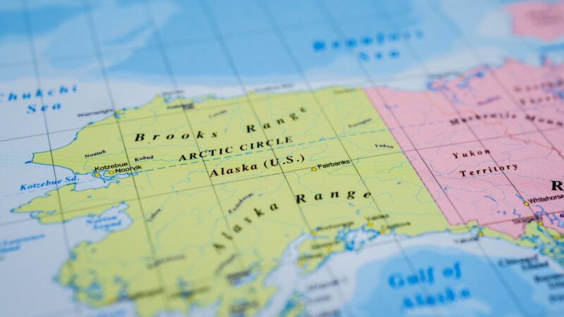
We all know that Alaska is huge. And the saying that “everything is bigger in Texas” is popular for a reason. But just how big is Alaska compared to Texas? Is there that big of a difference between the two largest states in America? The answer may surprise you.
Let’s dive in and look more closely at some of the largest states in the United States.
What Is the Largest State in the United States?
If Alaska were its own country, it would be in the top 20 in size in the world. It’s about the same size as all of Western Europe or Scandinavia.
But even though it’s the largest state in the United States by land size, it’s 48th in population with 736,000 residents. In comparison, over 8 million people live in New York City alone.
How Many Acres Is Alaska?
Alaska spans over 571,000 square miles of land and over 91,000 square miles of water. This is equal to over 425 million acres. It’s hard to wrap your mind around how big Alaska really is.
To put it in a little more perspective, Wrangell-St. Elias National Park and Preserve in Alaska is over 13 million acres, equal to six Yellowstone National Parks.
The four major mountain ranges in the park include nine of the 16 highest peaks in the United States. Rhode Island, Delaware, Connecticut, and Hawaii could all fit inside this massive national park.
How Big Is Alaska Compared to Texas?
But the question remains: how big is Alaska compared to Texas? It’s about 2.5 times the size of Texas. The Lone Star State covers 268,000 square miles, making it the largest in the continental United States. But it’s far from the 663,000 square miles of the Last Frontier.
When we cross Texas as we travel from the East Coast to the West Coast, it seems like I-10 goes on forever. It’s 878 miles long! The entire interstate highway system in Alaska is only about 1,100 miles. But there’s so much wilderness area in this magnificent state.
What Else Is Alaska Known For?
As mentioned above, the largest national park, Wrangell-St. Elias National Park and Preserve is in Alaska. But the state isn’t home to just the top park. It’s home to seven of the ten largest national parks in the country.
Only Death Valley cracks the top five. Gates of the Arctic, Denali, and Katmai round out the top four largest national parks in the United States.
Alaska is also known for having the highest peak in North America. Denali stands at over 20,000 feet. The mountain is actually larger than Mount Everest but sits lower in elevation.
Alaska is also home to the third longest river in the United States, the Yukon, which travels at just under 2,000 miles and has the most coastline of any state with 6,640 miles.
Many travel to the Last Frontier to bask in its natural beauty and grandeur. Others want to see the abundant wildlife that roams free. With so much wilderness and protected areas, Alaska is one of the best places to see bears, caribou, and moose.
You might be driving along the highway and have to stop for a caribou crossing. Or you might take a tour to Brooks Falls in Katmai National Park to watch the bears feeding on salmon.
What Are the 5 Largest States In the Lower 48?
Alaska is over two times the size of Texas, but how does it compare to other large states?
In the continental United States., Texas, California, Montana, New Mexico, and Arizona make the top five. Amazingly, Texas, California, and Montana could all fit in Alaska!
1. Texas
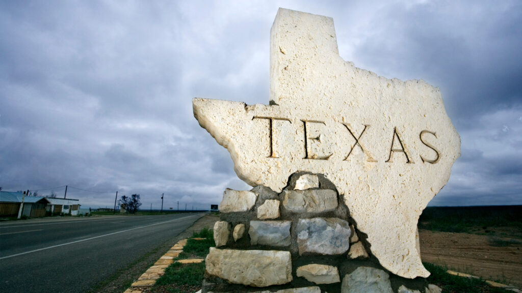
Texas covers much of the southern-central part of the United States. It’s over 171 million acres, which equals over 268,000 square miles. Of those square miles, over 261,000 are land, and over 7,000 are water. The country of France could fit inside the state of Texas.
The border between Texas and Mexico is over 1,200 miles long, making it the longest international border among the Lower 48 states. The Lone Star State has the second-largest population, with over 29 million residents.
Keep in Mind: So How Long Does It Take to Drive Across Texas? Let’s find out!
2. California
On the West Coast, California covers over 163,000 square miles. Almost 156,000 square miles are land, and over 7,700 square miles are water. The entire United Kingdom could fit in California 1.5 times.
The Golden State is the most populous in the country, with over 39 million residents. Los Angeles is the second most populous city in the country, behind New York. You can compare the land size to Texas and Alaska, but it has them beat with population.
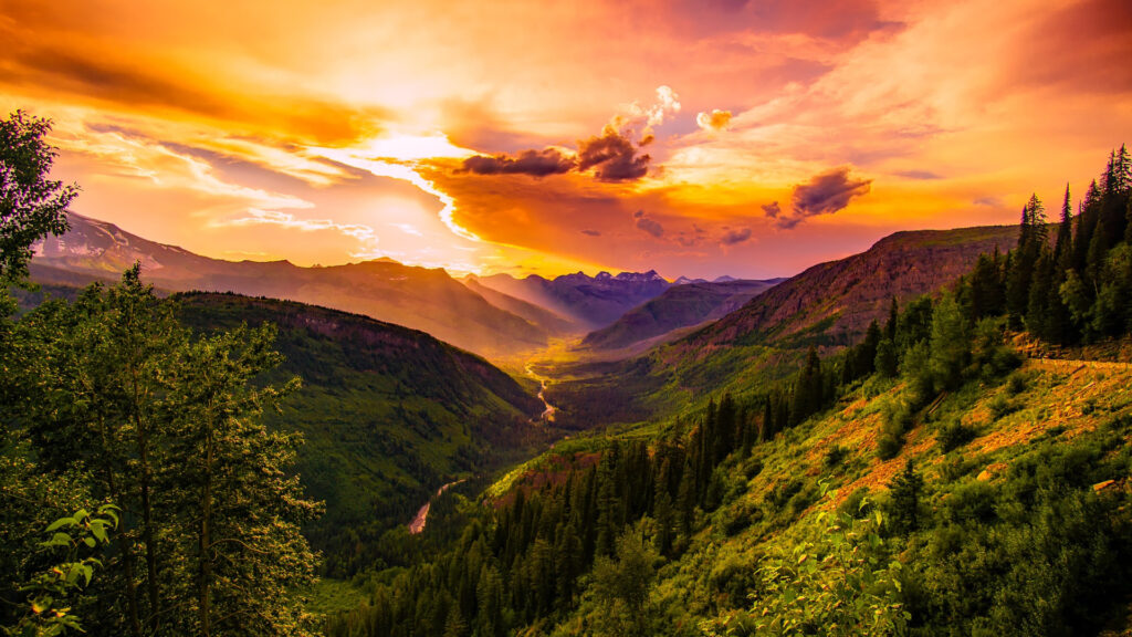
3. Montana
The third largest state in the Lower 48 is Montana. Alaska has the longest international border with Canada, with over 1,500 miles, but Montana shares 545 miles with our northern neighbor. It’s the only state that borders more than two Canadian provinces.
Montana covers over 147,000 square miles, including over 145,000 square miles of land and over 1,000 square miles of water.
4. New Mexico
We move to the southwest for our last two largest states in the contiguous United States. New Mexico and Arizona are very similar in size and take the 4th and 5th spots on our list. The Land of Enchantment offers one of the most diverse landscapes in the United States. You’ll find deserts, grasslands, mesas, lakes, forests, and mountains.
The state covers over 121,000 square miles, almost all of it land. It shares 180 miles of border with Mexico. New Mexico could fit in the state of Alaska five and a half times.
Keep in Mind: While in New Mexico, you have to try these 10 Foods!
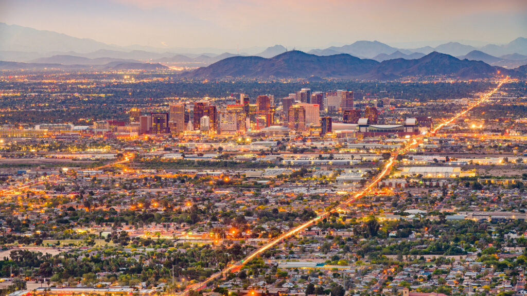
5. Arizona
Finally, Arizona rounds out our top five largest states in the Lower 48. Like New Mexico, almost all of its 114,000 square miles are land. Arizona shares approximately 378 miles of border with Mexico. Arizona’s largest city — Phoenix — is the fifth-most populous city in the United States and the most populous state capital.
What Is the Smallest State in the United States?
With all of this discussion about the largest states in the United States and how Alaska compares to Texas, what is the smallest state? Up in New England, you’ll find Rhode Island covering only about 1,500 square miles.
This tiny state could fit into Alaska 425 times. But more people live in Rhode Island than in Alaska. It’s 45th in population, with just over one million residents.
Everything Is Bigger in Texas? Not Quite True!
Some things may be bigger in Texas. After all, it is home to the world’s longest bowie knife, the world’s tallest cowboy statue, and the world’s largest pecan. But when it comes to land size, Alaska has Texas beat.
Driving through the Lone Star State may take a couple of days, but it will take you much longer to cross the Last Frontier.
Did you know how big Alaska is in comparison to Texas?


