


Table of Contents Show
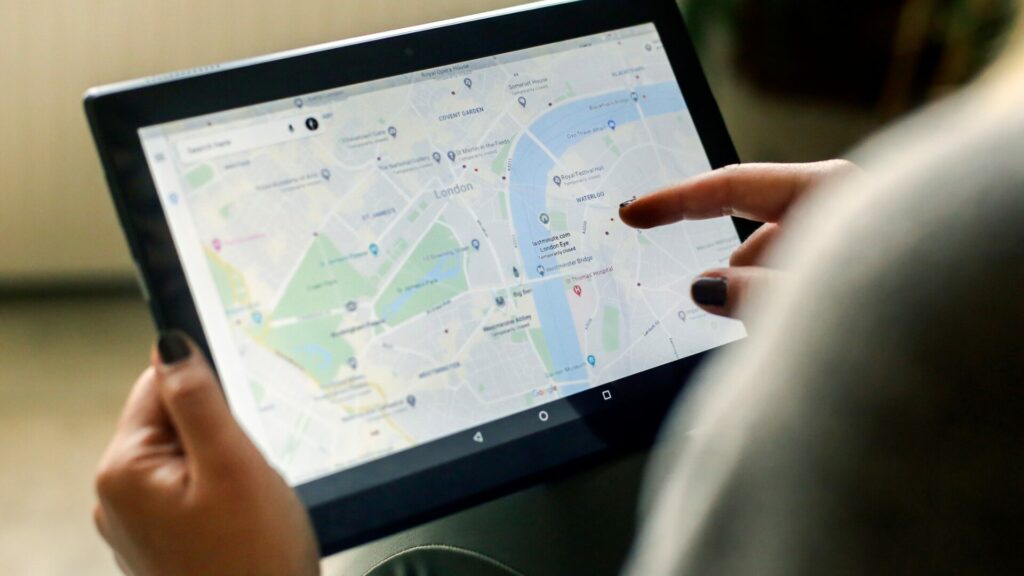
Like Michael Scott in The Office, a group of drivers recently discovered why you can’t always trust your GPS. Not only did Google Maps disappoint these travelers, but it also put them in danger.
It’s estimated that over a billion people use Google Maps each month. Should you reconsider using it?
Today, we’re sharing this nightmare of a situation so you can decide if it’s time to reconsider.
Let’s get going!
Google Maps Fails Drivers
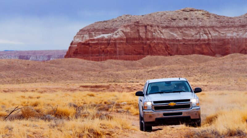
Interstate 15 is the easiest and safest route from Los Angeles, California, to Las Vegas, Nevada. Unfortunately, the road can temporarily close due to dust storms, which make it nearly impossible for drivers to see.
That’s precisely what happened recently to a group of drivers traveling along this route. However, they were far enough behind the closure that Google Maps alerted them to a shortcut. This would allow them to avoid the closure and shave 50 minutes off their trip.
Unfortunately, the long line of drivers quickly discovered that the off-road route was unsafe for standard passenger vehicles. Even a fellow driver in a large pickup had turned around and was warning drivers to do the same.
While some escaped the dangerous situation, that wasn’t the case for everyone. Multiple drivers caused severe damage to their vehicles and had to rely on a tow truck to rescue them. All drivers involved pointed fingers at Google Maps for leading them astray.
Is It Safe to Use Google Maps?
Following multiple complaints, Google launched an investigation into the situation. Their response to the New York Post was, “During unpredictable conditions, we work as quickly as possible to update routing based on information from local authorities and sudden changes to driving patterns.”
Their spokesperson assured drivers, “We’re investigating the issue that happened over the weekend and can confirm that we’re routing drivers through Interstate 15 since it’s been reopened.”
Google Maps is typically very safe to use for most driving situations. If you’re sticking to main roads, then it’s generally fine. However, it can become inconsistent when using country or remote roads.
A North Carolina man recently died while exploring a remote area in Vancouver, Canada. He was attempting to reach the peak of a mountain when he unknowingly crossed a collapsed bridge. His friends and family are suing Google for the man’s death.
You should research your route in unfamiliar situations, even if you plan to use Google Maps. Remember, technology isn’t perfect and can let you down. Don’t blindly trust technology to get you from Point A to Point B; it could have disastrous or even fatal consequences.
Is Google Maps or Apple Maps Better?
Overall, between Google and Apple, Google Maps has a better reputation. This is mainly because Google has a substantially more extensive database and much more experience. Many programs and websites utilize Google Maps as their go-to mapping provider.
However, while Apple Maps takes a close second, it’s still a quality piece of software. It has a sleek and user-friendly interface. In addition, if you have an iPhone, it integrates with the voice assistant Siri. Many users enjoy the “Flyover” functionality that creates a 3D view in larger cities.
While Google Maps may be the most popular option, you can’t go wrong no matter which you choose. However, you should continue to investigate your route and be aware of the conditions. If it’s encouraging you to take an off-road path, it might be best to stick to paved surfaces.
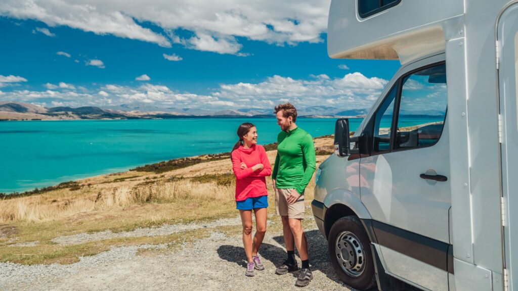
Tips for Using Google Maps on Road Trips
Google Maps has become one of the go-to resources for many drivers, especially on road trips. Its massive database makes it easy to get you to your destination.
However, while punching in the address and hitting the road is easy, this isn’t a good idea. Here are some tips to follow when using Google Maps on road trips.
Review Your Route in Advance
One of the first things you should do after deciding on your destination is to review your route. Consider the morning and evening rush hours if you pass through any major cities. Additionally, you may need to make adjustments to avoid tolls, ferries, or other unusual occurrences.
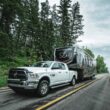
Google Maps typically gives you several routes with varying distances and travel times. While the fastest route may look and sound the best, it may not be compatible with your vehicle. If you’re hauling a trailer or are in an oversized vehicle, it may contain low clearances or weight restrictions. As a result, you’ll need to pick an alternate and safer route.
Check Current Traffic Conditions
One of the best Google Maps features is its ability to update traffic conditions constantly. It uses data from other drivers to alert you of congestion and other potential issues. As the drivers in the news story demonstrated, it will also provide you with alternative routes, which are typically faster.
Before hitting the road for your road trip, look at the current traffic conditions. Depending on the timing, avoiding certain areas or seeking alternative routes may be best. However, it may be acceptable if the traffic congestion is a few hours ahead of you. Whatever is causing the issue will likely get resolved before you get there.
Set Up Pit Stops
Pit stops will be essential if you’re going on a lengthy road trip. You’ll need to stop so you and your passengers can stretch their legs, use the restroom, and resupply their stash of snacks.
Google Maps makes it easy to plan your pit stops. You can search for gas stations along your route and add them to your itinerary as segments. Google Maps will give you directions to the next part of your trip. Once you finish, it’ll automatically navigate you to the next stop or your final destination.
Keep in Mind: After a camping trip or two, your rig is going to be dirty. Here’s how to find a good RV wash near you to keep your RV looking brand new!
Monitor Gas Stations Along Your Route
Another helpful feature of Google Maps is that it makes monitoring gas station prices along your route easy. Through a partnership with the popular fuel savings app GasBuddy, users can find the cheapest price for gas without switching apps.
Depending on where you’re traveling and the time of year, fuel can be one of your most significant expenses on a road trip. You may save a pretty penny by using this feature and stopping at a different gas station.
Report Incidents
The ability to report incidents is another fantastic feature of Google Maps. Users can report crashes, speed traps, construction, stalled vehicles, and other potential hazards. These are all common issues that can severely impact the flow of traffic.
Submitting a report can help Google monitor an area for slowdowns. However, we strongly suggest using this feature only if you’re a passenger. Using cell phones and mobile devices while driving is illegal in most states.
Pro Tip: Keep track of your US National Park adventures with this free map!

Should You Use Google Maps on Your Next Road Trip?
While Google Maps may have led some drivers onto an unsafe route, these situations are infrequent. Luckily, just because Google suggests an alternative route doesn’t mean you have to take it. Trust your gut and know that unless you’re in an off-roading vehicle, it’s best to stick to paved surfaces.
Have you ever been led into danger by Google Maps?


Google…Apple, I will take either one over the $700, “RV” Garmen GPS I just purchased. What a piece of junk. The company should be ashamed.
To save 38 minutes, the RV GPS took us off the highway and through small towns, narrow roads, and low bridges. The first time this happened, I tossed it up to me not knowing how to program (use) the device. After it happened a second time, it was just tossed in the closet waiting to go to Goodwill.
A while back, I was en route to a campground, using Google maps. Suddenly, it tells me to make a right turn, which I did, in my Class C motorhome, towing a car and tow dolly. In less than a minute, I find myself on a narrow sugar-sand road, leading to a one lane wooden bridge. A sign was posted “Weight limit 3 tons.” Needless to say, following that trip I started using a Garmin RV890, and have never gone through a nightmare like that again.
When driving a RV, I use a Garmin RV 1095 device, Google Maps on iPhone and a traditional AAA map paper to determine which route would be best and, of course, the safest for my rig. Sometimes Garmin and Google Maps disagree, I check the AAA map for the final answer.
WAZE is my go to with RV Life’s Trip Wizard a close second.