Table of Contents Show
Road-tripping in America is really popular. Whether it’s crossing southern Utah to visit the big five national parks or traveling along the California coast on the Pacific Coast Highway, road trips help us see our beautiful country.
But if you want to take a longer road trip — perhaps one that traverses the entire country — you may have a few questions. For example, how long does it take to drive across the US? And what are the most popular roads for cross-country travel?
Let’s answer these questions and more as we dive into the details of driving from coast to coast or border to border. Let’s go!
Can You Drive Across the U.S.?
First, let’s tackle whether or not a road trip across the U.S. is even possible. Route 66 was one of the first highways in our country, and it connected Chicago, Illinois, to Los Angeles, California.
It greatly improved cross-country travel and has continued to be a route many travelers have on their bucket lists.
However, this historic route doesn’t go farther east than Chicago. It crosses the midsection and western part of the country but doesn’t venture into the eastern part of the U.S. But you’re not out of luck.
Interstate 40 runs coast-to-coast and parallel to The Mother Road. So you can travel from Los Angeles to Wilmington, North Carolina, and include some of the iconic Route 66 roadside attractions.
Another route farther north is I-80. It connects San Francisco to New York City. I-90 is the northernmost cross-country route that extends from Seattle, Washington, to Boston, Massachusetts.
Finally, I-10 is the southernmost route and begins in Los Angeles and ends in Jacksonville, Florida. So, yes, you can drive across the U.S. from one coast to the other. Which part of the country do you want to explore?

How Long Does It Take to Drive Across the U.S. Without Stopping?
You can’t actually drive across the U.S. without stopping, as it takes several days. We also recommend taking a cross-country road trip; enjoy the journey.
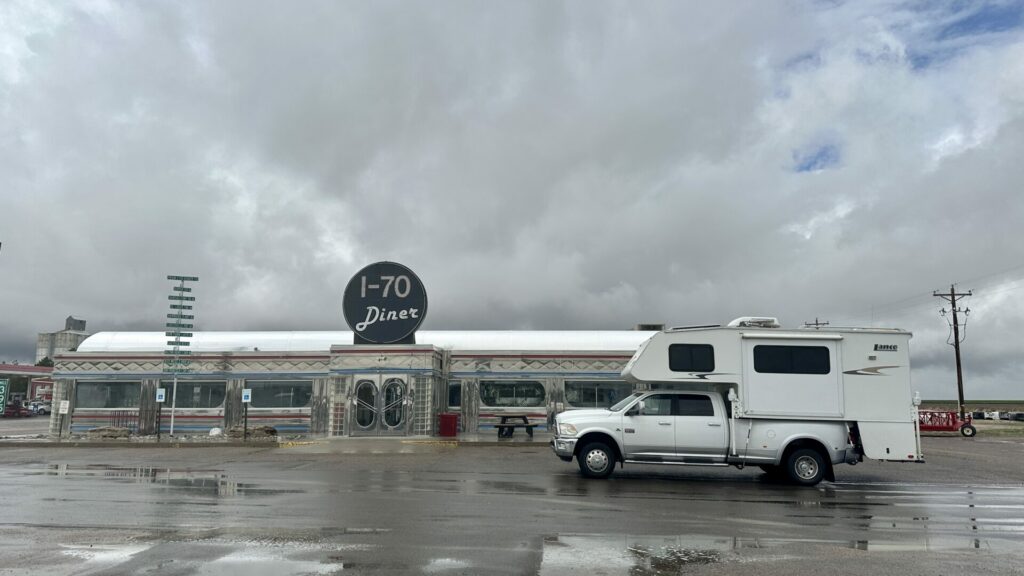
Stop along roadside attractions, take selfies at historical markers, eat at a popular diner, visit local museums, and take your time.
But if you’re wondering how long it takes to drive across the U.S. without stopping, the answer depends on the route.
A trip along I-10 takes about 34 hours, I-40 takes 36 hours, I-90 takes 44 hours, and I-80 takes 46 hours. This is assuming you don’t encounter bad weather, road construction, or other problems. However, it also depends on where you start.
Learn More: You may also be wondering How Long Does It Take to Drive Across Texas?

How Long Does It Take to Drive Across the U.S. on a Road Trip?
The most enjoyable way to travel across the country is on a road trip with stops along the way. If planning a cross-country road trip, your first decision is which route to take.
This could depend on the time of year you want to travel. For example, I-10 is the only route we’d take during the winter.
Once you’ve chosen a route, you can search for stops along the way. You can plan your trip accordingly, depending on your time frame. If you only have a week of vacation, you may find it more difficult to savor and enjoy a cross-country road trip.
Driving 8-hour days along I-40 from Los Angeles means you’ll arrive in Wilmington, North Carolina, in four days. But then you’ll need to turn around and drive four days back home. This also doesn’t factor in stops along the way.
So we’d suggest taking at least two weeks to a month for any of these cross-country road trips. You don’t want to drive fatigued, and you want to enjoy the journey. Just driving to get from one location to another isn’t the spirit of road-tripping.
The length of your road trip also depends on where you start. If you want to take I-40 from California to the East Coast but live in Washington, you’ll need to factor in the drive time to get down there.
What Are the Two Farthest Coast-to-Coast Points in the Continental U.S.?
The farthest distance east-to-west in the mainland United States is from Point Arena, California, to West Quoddy Head, Maine. The linear distance is 2,892 miles, while the driving distance is over 3,500 miles.
Cape Alava in Washington state is also considered one of the most western points in the continental U.S. It would take more than two days to drive without stopping from either western location to the coast of Maine.
However, the two points with the greatest driving distance are Key West, Florida, to Cape Flattery, Washington. This road trip covers 3,689 miles of the U.S. highway system.
What Are the Two Farthest North-to-South Points in the Continental U.S.?
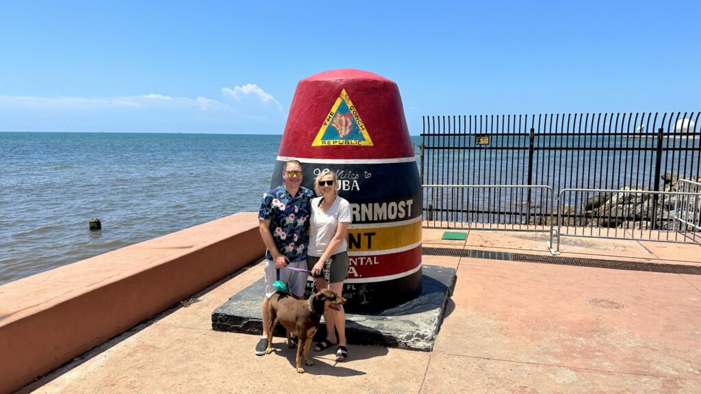
The southernmost point in the continental United States is Key West, Florida. The famous buoy marks the southern end of the country along Highway 1.
Angle Inlet, Minnesota, is the northernmost point. You’ll also find a buoy erected here stating its claim to fame.
To drive from Key West to Angle Inlet will take about 34 to 35 hours without stopping. The route covers over 2,300 miles.

How Long Does It Take to Drive From the Canadian Border to Key West?
The southernmost location of the Canadian border lies in Lake Erie at Middle Island. Since you can’t drive from Middle Island, we’ll look at how long it takes to drive from Sandusky, Ohio, at the Lake Erie shoreline, to Key West.
The total drive time takes about 22 to 23 hours. You’ll cover over 1,400 miles. This is the shortest distance from the Canadian border to Key West.
The northernmost location of the Canadian-U.S. border is Angle Inlet. Of course, this is just the border at the 49th Parallel. The border between Alaska and Canada is much farther north.
Pro Tip: Tackle your first cross country RV trip like a pro with these 5 tips!
What Are Popular Road Trip Routes Across the U.S.?
As mentioned earlier, one of the most popular road trips for travelers is along Route 66. Many people don’t start at one end and drive all the way to the other because of time.
They’ll choose a section to travel and enjoy the journey on that part of The Mother Road.
Other travelers seeking to go from coast to coast usually stick to the main interstate highways. For example, along I-40, you could stop and explore Great Smoky Mountains National Park, Nashville, Little Rock, Oklahoma City, Albuquerque, the Grand Canyon, and many other destinations and cities.
If you took the northern route of I-90, you could stop and explore Bozeman, Bismarck, Minneapolis, Chicago, Lake Erie, Niagara Falls, and many other beautiful and historic locations.
If you’re trying to choose which route to take, it’s a personal decision. Consider what types of places you want to see, what things you want to do, and what time of year you plan to travel.
Sticking to the main interstates will be the easiest when route planning your road trip across the U.S.

Is It Worth Driving Across the U.S.?
Our country is full of beauty, from the tropical palm trees of Florida to the rocky cliffs of Maine to the vast canyons of Utah. We can enjoy diverse and amazing landscapes.
You’ll also find a variety of tasty cuisines as you travel from the lobsters of New England to the jambalaya of New Orleans.
No matter where you go, traveling opens our eyes to see another world outside our small section of the country. Plan that road trip. But make sure you give yourself plenty of time to enjoy the journey.
Knowing how long it takes to drive across the US, will you do it? Which route will you take on your cross-country adventure?


